Visuals
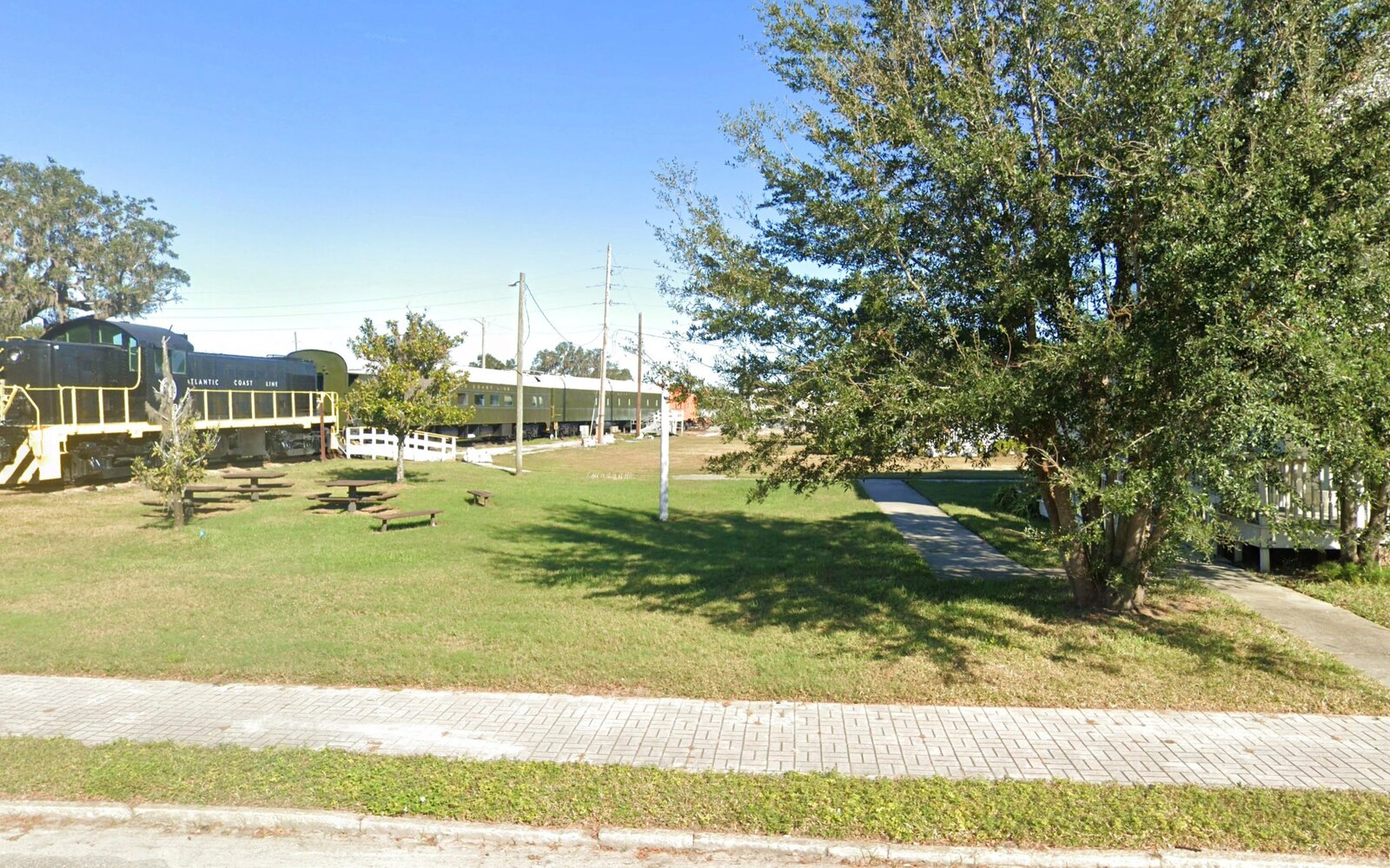
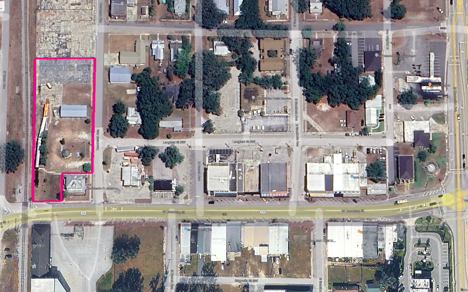
The downtown today
Confidential — enter the review passcode to continue.
Photorealistic before-and-after renderings that let a historic Polk County town see its downtown future at a glance.
The City of Fort Meade set out to advance a conversation about the future of its historic downtown — and one of the most effective ways to begin that conversation is to let people see its potential. BusinessFlare® is preparing a coordinated package of conceptual visioning renderings that translate ideas into images anyone can understand at a glance.
Working from current conditions, the infrastructure pipeline, and priorities identified with City and CRA staff, the illustrations depict a more attractive and active downtown — coordinated storefronts and signage, facade enhancements, streetscape treatments, landscaping and shade, pedestrian lighting, and inviting gathering spaces — grounded in the real character of Fort Meade so improvements read as believable and achievable.
Give residents, business owners, elected officials, and prospective investors a shared, tangible picture of what downtown can become — building momentum for public engagement, strengthening the case for grant applications, and turning revitalization from an abstract idea into something people can point to.
A layered visioning package spanning the downtown core, the MLK corridor, and a signature heritage site.
Up to four photorealistic ground-level renderings show downtown Fort Meade as a cohesive, welcoming place — restored historic storefronts, coordinated awnings and signage, sidewalk dining, string lighting, and active corners along the historic US-17 main street.
An aerial rendering presents the downtown district as a whole, with block-by-block callouts showing how individual storefront and streetscape improvements come together into one coordinated revitalization vision.
Additional concepts reimagine the 4th Street SW / MLK corridor as an active, mixed-use area — a vibrant main intersection with ground-floor retail and dining, new mixed-use and infill housing, live-work space, a pocket-park plaza, and enhanced connections.
A related concept envisions Fort Meade's historic train cars and depot site as a Heritage Train Park — a restored locomotive and passenger cars alongside an event pavilion and gazebo, programmed for weddings, markets, a museum, and gatherings.
Alongside the big-picture views, the package documents a menu of individual, achievable facade and streetscape improvements — the building blocks owners and the City can implement incrementally.
Under a scope executed June 10, 2026, BusinessFlare® prepared a coordinated package of conceptual visioning renderings for downtown Fort Meade. The project kicked off with City and CRA staff on June 30, 2026 and progressed through base documentation, concept development, City review, and implementation recommendations. The updated Summary of Recommendations for Implementation, incorporating the current MLK corridor zoning map obtained from the City's planning department, was delivered to City staff on September 2, 2026, completing the deliverable set. The downtown visioning renderings were presented to the CRA Board by the City Manager on September 8, 2026.
Kickoff held June 30, 2026 with City and CRA staff. The downtown study-area boundaries — both sides of the core and the 4th Street SW / MLK corridor — were confirmed and the key vantage points selected, and a downtown, facade, and parking conceptual framework was delivered.
On-site capture of the selected downtown and MLK viewpoints — front elevations, rear-of-building conditions, and the city-owned parcels — was completed during the July 8–9, 2026 site visit, and the building and block-frontage photographs have been organized and delivered to the project team.
With base documentation and site photography complete, the consolidated draft concept package — building toward up to four ground-level perspective views plus one whole-district aerial vision of an improved downtown — was produced on July 16, 2026, reviewed internally, marked DRAFT throughout, and issued to City and CRA staff for review. The updated downtown rendering set was completed on August 5, 2026 and reissued to City and CRA staff, who confirmed on August 6, 2026 that the downtown concept direction reads the way the City wants it to, with a single revision note on the mix of people shown in the street-level views. That revision is being incorporated now. The MLK corridor work advanced on August 8, 2026, when a set of MLK process views was issued to City staff — setting the streetscape at a fifty-foot right-of-way with twelve-foot travel lanes in each direction, eight feet of on-street parallel parking on both sides, five-foot sidewalks on each side, and landscape and tree islands at mid-block and at the ends — together with an inventory identifying approximately 295,324 square feet, or 6.7 acres, of opportunity and vacant land, and a separate mapping of vacant land with existing buildings. A parcel-sensitivity question is now with City staff, covering which areas are acceptable for the redevelopment study and the treatment of church-owned parcels and parcels under multiple ownership, with land assembly by block as the working assumption where feasible. The facade concepts are circulating in parallel for feedback. On August 11, 2026, an existing on-street parking inventory for Broadway, Seminole, French, Langford, and Magnolia was delivered to the City, together with a modeled parking count based on the available public right-of-way; the parcel-sensitivity question has since been forwarded by City staff to the City Manager for direction. With the corridor zoning question resolved, this milestone closed out alongside the final documentation issued to the City on September 2, 2026.
The consolidated round of City review is closed. City and CRA staff confirmed the downtown concept direction on August 6, 2026 and returned a focused set of comments, which were incorporated into the final high-resolution package for presentations, printing, and grant materials.
The draft Summary of Recommendations for Implementation, covering both downtown Fort Meade and the 4th Street SW / MLK corridor, was submitted to City and CRA staff on August 20, 2026 to meet the deliverable set out in the Scope of Services. City staff acknowledged receipt the same afternoon and accepted the deliverable, closing this milestone. An updated Summary of Recommendations for Implementation, incorporating the current MLK corridor zoning map obtained from the City's planning department, was delivered to City staff on September 2, 2026; City staff confirmed receipt the same afternoon and forwarded the package to the City Manager.
Three supplemental documents were prepared and delivered following the Summary of Recommendations. On August 24, 2026, an eight-page development capacity analysis of the city-owned parcel on West Broadway was delivered to City and CRA staff. On August 25, 2026, a consolidated analysis of current zoning, future land use, and land development potential along the MLK corridor west of Charleston Avenue was delivered to the City Manager, together with a note that the file had been reduced in size for easier review; a three-dimensional site fitment illustrating what can be accommodated with parking at three stories under the current code followed the same afternoon. The corridor's current zoning designation was subsequently confirmed with the City's planning department, and the current MLK corridor zoning map was incorporated into the final documentation delivered on September 2, 2026.
Available on the City's request: up to three perspective views of a mixed-use 4th Street SW / MLK, and a regulatory and financial feasibility assessment of the concepts.